When comparing modern travel planning apps, most travelers assume they have to pick just one clear winner between Google Maps and a dedicated trip planner app. In fact, According to CivicScience consumer study, 71% of adults find making travel arrangements and itinerary building stressful.
I learned this lesson the hard way during a chaotic road trip across Italy. I tried to organize my entire 10-day itinerary inside a standard map tool, only to end up with a messy screen full of red pins and zero order. That was the moment I realized the truth: Wanderlog and Google Maps are not competitors. They are the ultimate dream team when you use them together.
Here is a complete, hands-on guide on why you need both apps and step-by-step instructions on how to sync them effortlessly.
- Different Roles: Wanderlog is designed for visual itinerary building and budgeting, while Google Maps handles live GPS navigation, public transit, and traffic updates.
- The Dream Team Setup: Plan your daily schedules and expenses inside Wanderlog, then export your route to Google Maps with 1-click when you’re ready to drive or walk.
- Avoid Route Capping: Google Maps caps route exports at 10 stops. Split heavy travel days into “Morning” and “Afternoon” blocks inside Wanderlog before exporting.
- Virtual Scouting: Use Google Maps Street View and Google Earth alongside Wanderlog to preview parking, road conditions, and neighborhood vibes before landing.
Wanderlog vs Google Maps: Why You Should Use Both
Many travelers ask if Wanderlog is trying to replace Google Maps directions. The simple answer is no.
- Wanderlog acts as your travel notebook and architect. It helps you organize flight times, hotel bookings, daily budgets, and drag-and-drop lists to visualize your day.
- Google Maps acts as your real-time driver and local navigator. It gives you live traffic updates, public transit times, and turn-by-turn voice prompts while you walk or drive.
When you combine the organizing power of Wanderlog with the live data power of Google, you eliminate almost all travel friction.
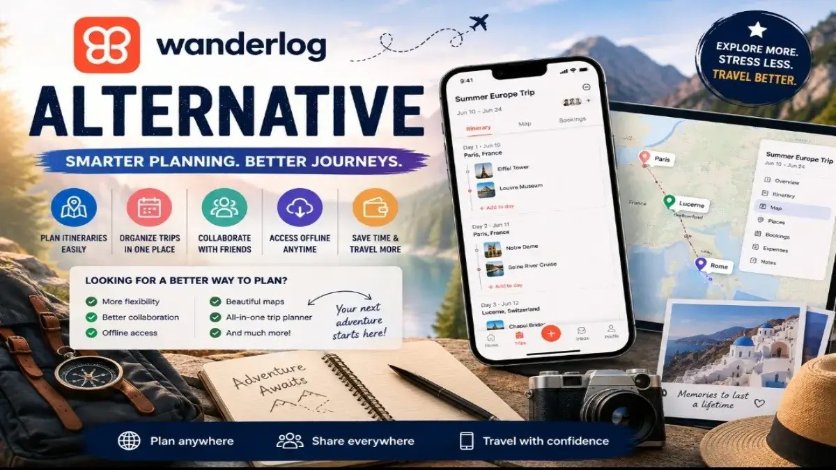
Wanderlog Breakdown: What It Does Best
Wanderlog shines in visual organization and group trip management:
- Visual Day-by-Day Timeline: Group your places by specific days and times.
- Auto-Importing Reservations: Forward your hotel or flight confirmation emails, and Wanderlog adds them automatically to your itinerary.
- Route Optimization: Reorder your daily stops with one click so you do not waste hours crisscrossing town.
- Expense Tracking: Log costs and split bills with friends instantly.
Wanderlog works behind the scenes with a Google Maps geocoding API. This means every location you search inside Wanderlog matches official coordinates on Google.
Google Maps Breakdown: Why You Still Need It on the Road
Even though Wanderlog displays interactive maps, you cannot use it as a live GPS driver while behind the wheel. That is where Google dominates:
- Live Traffic & Transit: Re-routes you around unexpected construction or traffic jams in seconds.
- Street View Navigation: Opening Google Maps Street View lets you see exact store frontages or tricky highway exits before you arrive.
- Offline Maps: Download whole cities to your phone so you never get lost when cell service drops.
- Local Reviews & Business Hours: Get real-time info on whether a café is currently open or crowded.
Side-by-Side Comparison: Wanderlog vs Google Maps
| Feature | Wanderlog | Google Maps / My Maps |
| Primary Focus | Itinerary & trip structure | Live navigation & local search |
| Day-by-Day Scheduling | Excellent (Drag & Drop) | Limited / Basic list format |
| Live Turn-by-Turn GPS | No (Exports to Google) | Yes (Industry Leader) |
| Group Expense Splitting | Built-in | None |
| Offline Map Viewing | Available on Pro plan | Free offline area downloads |
| 3D Visual Scouting | Basic map view | Google Earth view & Street View integration |
How to Sync Wanderlog with Google Maps (Step-by-Step)
Syncing your trip plan between both apps is quick and seamless. Here are the two methods I use on every trip.

Method 1: The 1-Click Mobile Export (For Daily Routes)
This is the fastest method while you’re traveling on foot or in a car.
- Open the Wanderlog app on your phone.
- Open your trip plan and tap the specific day you’re exploring.
- Look for the Directions button or the Google Maps icon next to your list of places.
- Tap it, and Wanderlog automatically sends your ordered stops directly into Google Maps directions.
- Press Start on Google Maps to begin live turn-by-turn guidance.
My pro tip: Google Maps caps multi-stop driving directions at 10 stops at a time. If your Wanderlog daily plan has 12 stops, split the day into “Morning” and “Afternoon” sections inside Wanderlog before exporting.
Method 2: Exporting Custom Maps and KML Files (For Big Trips)
If you like using custom layers or want to back up all your saved pins into a single Google My Maps view, follow these steps.
- Open your trip itinerary in Wanderlog on a desktop web browser.
- Click the Export menu in the top settings tab.
- Select Export to KML / GPX file.
- Head to Google My Maps (mymaps.google.com) in your browser.
- Click Create a New Map, then hit Import inside the new layer.
- Upload your Wanderlog KML file.
Every place pin, color tag, and custom note you made will now appear across Google Earth and your mobile Google Maps overlay.
Level Up Your Planning with Google Earth and Street View
Before I step onto a plane, I always do a virtual walk-through of tricky destinations. I open Google Earth on desktop to inspect the terrain.

Checking a live satellite view lets me see:
- Whether the street is steep or hard to walk with heavy luggage
- Where the exact train station entrance sits relative to my hotel
- Whether there’s parking near the restaurant
Using Street View alongside your Wanderlog research prevents unwanted surprises on day one of your trip.
You can preview historic town centers, check parking lots, and get familiar with neighborhood vibes ahead of time.
Common Mistakes Beginners Make
- Trying to edit routes inside Google My Maps on mobile: Google retired mobile editing for My Maps. Make all your changes inside Wanderlog, then re-export.
- Forgetting to download offline area maps: Wanderlog Pro supports offline views, but your main GPS route still needs
- offline data from Google Maps. Always save your destination city offline in Google Maps before landing.
- Adding too many pins to one day: Packing 15 places into a single day creates messy routes. Keep daily stops around 4 to 6 items for a realistic pace.
- Not checking opening hours: Wanderlog displays basic hours, but business details change fast. Always double-check Google’s live business updates for holidays or sudden closures.
My Personal Workflow for Stress-Free Travel in 2026
- Research phase: I drop every cool café, museum, and spot I find on TikTok or blogs into Wanderlog.
- Structuring phase: I group items by city neighborhood and use Wanderlog’s route optimizer to arrange them logically.
- Visual scouting phase: I drop the Street View pegman in Google Maps to inspect parking and street conditions around my hotel.
- Execution phase: Each morning, I hit “Export Directions” in Wanderlog to push my daily route directly into Google Maps for instant voice guidance.
This system gives me complete peace of mind: the deep structure of an organized trip planner, without sacrificing real-time GPS accuracy on the street.
Final Verdict
You do not have to choose between Wanderlog and Google Maps. They perform two completely different functions, and both excel at what they do.
Use Wanderlog as your master trip hub to organize times, group budgets, and daily routes. Then, export those routes into Google Maps when hitting the pavement for smooth, live turn-by-turn guidance.
Frequently Asked Questions
Is Wanderlog better than Google Maps?
Wanderlog and Google Maps serve different purposes. Wanderlog is superior for visual itinerary planning, group budgeting, and organizing daily stops. Google Maps is better for real-time turn-by-turn GPS navigation and live traffic updates. Using both together gives you the best results.
Does Wanderlog connect to Google Maps?
Yes, Wanderlog directly connects to Google Maps. You can export individual daily itineraries or full route maps from Wanderlog straight into Google Maps directions with a single click on mobile or desktop.
Is there a better travel app than Wanderlog?
It depends on your travel style. TripIt is great for automated flight email organization, while Layla AI and Mindtrip are strong for fast AI-generated ideas. However, for interactive map planning and expense tracking, Wanderlog remains a top choice.
Does Wanderlog sync across devices?
Yes, Wanderlog automatically syncs seamlessly in real-time across your iOS, Android, and web browser applications whenever you are connected to the internet.
Is it worth paying for Wanderlog?
For most travelers, the free version of Wanderlog offers more than enough features. The Pro version is worth it if you need offline map access, automatic flight reservation syncing, or unlimited AI itinerary generation.
Affiliate Disclosure: Some of the blogs may contain affiliate links. If you purchase through these links, we may earn a small commission at no extra cost to you. This helps us continue providing valuable knowledge and free content through our blogs.

I am a pharmacist , investor, tech savvy and multi-niche content writer with over 5 years of experience and have served more than 15 organisations.
Join CompareWise on WhatsApp
Stock trends, AI workflow breakdowns & smart comparisons directly on your phone.